
MONITORED AI v.10.0 - Release
MONITORED AI® v10.0 has arrived! This release brings new AIKPs, new ways to interact with your data, enhanced GIS search, and more automation capabilities.
.png)
OPT/NET
March 9, 2026
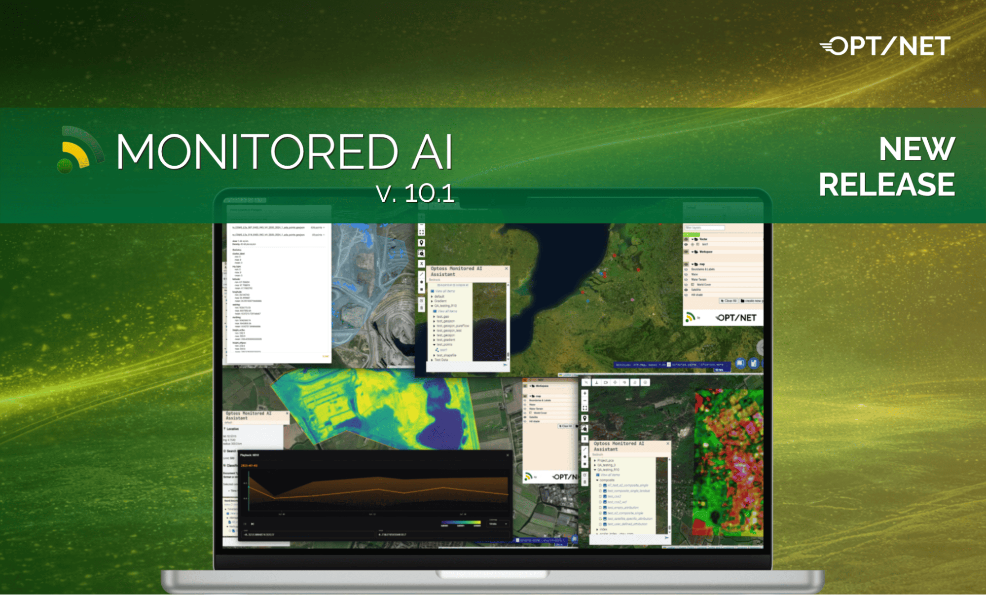
This release, version 10.1, introduces powerful new capabilities for time-series analytics, automated processing workflows, and Earth Observation data analysis. It also expands the platform with new analytical tools, additional integration options, and numerous enhancements designed to improve versatility, usability, flexibility of integrations, scale and performance.
A new automated AI KP batch processing workflow enables efficient generation of temporal datasets from large collections of satellite imagery. The system automatically processes all products matching user-defined search criteria while ensuring complete coverage of the selected Region of Interest (ROI). Results are published in TimeSeries format, allowing users to build and analyse large temporal datasets with minimal manual intervention.
The AI KP workflow is built on a reusable processing framework of the platform's core engine that standardises time-series execution, data management, and publication of outputs. This new feature simplifies the implementation of future advanced temporal analytical workflows with deterministic and AI-based methods.
Key features:
.png)
This functionality reduces manual effort when generating temporal datasets while providing a scalable foundation for future time-series analysis and AIKP development.
A new Time Series & Indexes AIKP provides a ready-to-use implementation for analysis of the temporal evolution of spectral indices derived from multi-temporal satellite imagery. Built on top of the OCLI AIKP Time Series Base Module, it generates TimeSeries datasets and enables users to explore long term changes in environmental conditions described by multiple indices over time.
This AIKP currently supports Sentinel-2 imagery and includes a default implementation of the Normalized Difference Vegetation Index (NDVI), and it also allows calculation of additional indices such as NDWI and NDMI.
During publication, the user’ workflow enriches the generated TimeSeries metadata with descriptive statistics, including finding the global minimum and maximum values across the entire time series set, as well as slice-by-slice statistics such as minimum, maximum, mean, median, and standard deviation for each observation date.
.png)
This Time Series Index AIKP provides a practical framework for monitoring of temporal dynamics in Earth Observation data, supporting applications such as vegetation condition assessment, water body monitoring, and environmental change detection.
A new Pixel Time Series Inspector feature enables users to analyse how raster values change over time at any selected point-location within a TimeSeries dataset.
By selecting a point (pixel) on the map, users can retrieve the complete temporal profile of that localised point and can see changes of the index over time with an interactive chart. This functionality is particularly useful for monitoring and quantitative analysis of vegetation indices, environmental indicators, and other satellite-derived measurements which were stored in Zarr-based data cubes and published to the platform.
.png)
The Point Time Series Inspector allows you to analyse the temporal evolution of values associated with vector features within a TimeSeries dataset. Individual features can be inspected across multiple timestamps, with trends visualised through automatically generated charts.
This provides a convenient way to analyse observations stored in vector-based datasets and identify long-term patterns and changes.
.png)
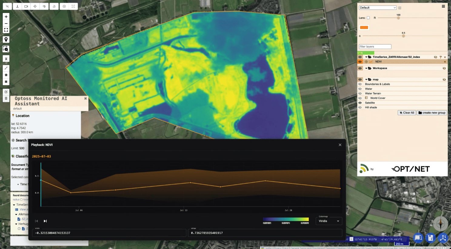
The new Playback Control feature allows users to visualise temporal datasets as a set of “slides” directly on the map and explore how observations change over time.
Users can manually select a specific observation on the timeline or automatically play the entire sequence of observations in a “slide-like” manner. Only the observation image corresponding to the selected timestamp is displayed, making it easier to analyse temporal changes qualitatively across multi-year datasets.
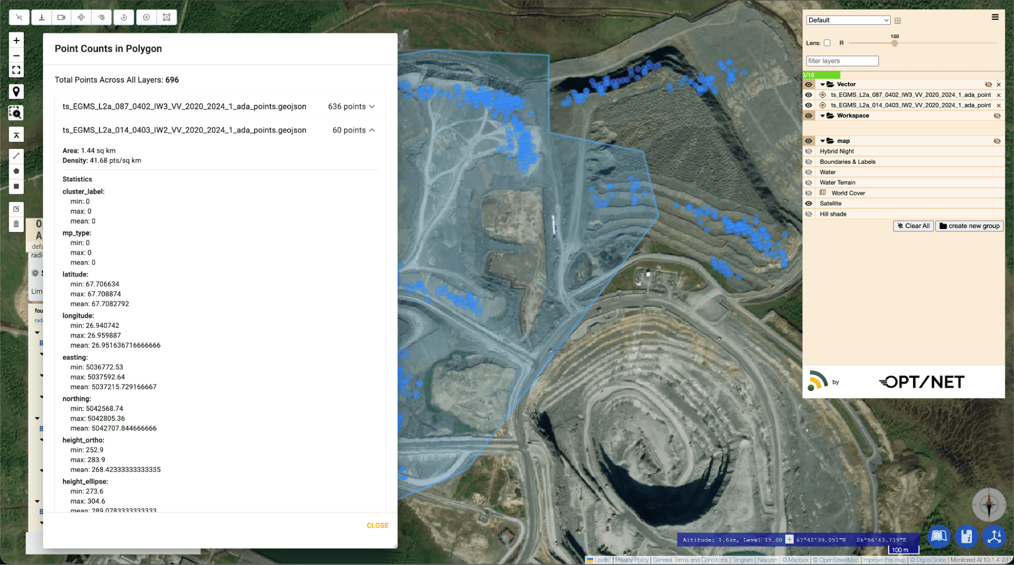
MONITORED AI now supports counting vector objects located inside a selected polygon. The objects could be detections, classified items, point objects, etc. Users can either upload a geometry or draw a polygon directly within the Web UI to calculate the number of objects contained within the selected area.
Support for TomTom(c) map services has been added to MONITORED AI, providing additional and valuable basemap options for visualisation and navigation. The integration expands available map layers with the reach and high-quality datasets provided by TomTom(c) and improves flexibility when working across different operational environments.
A new Published Document Editor allows OCLI users with Developer or Advanced roles to manage their own published documents directly within the platform. Through a dedicated User Profile → Documents section, users can access all documents they have created and perform actions such as viewing, searching, editing, and deleting them.
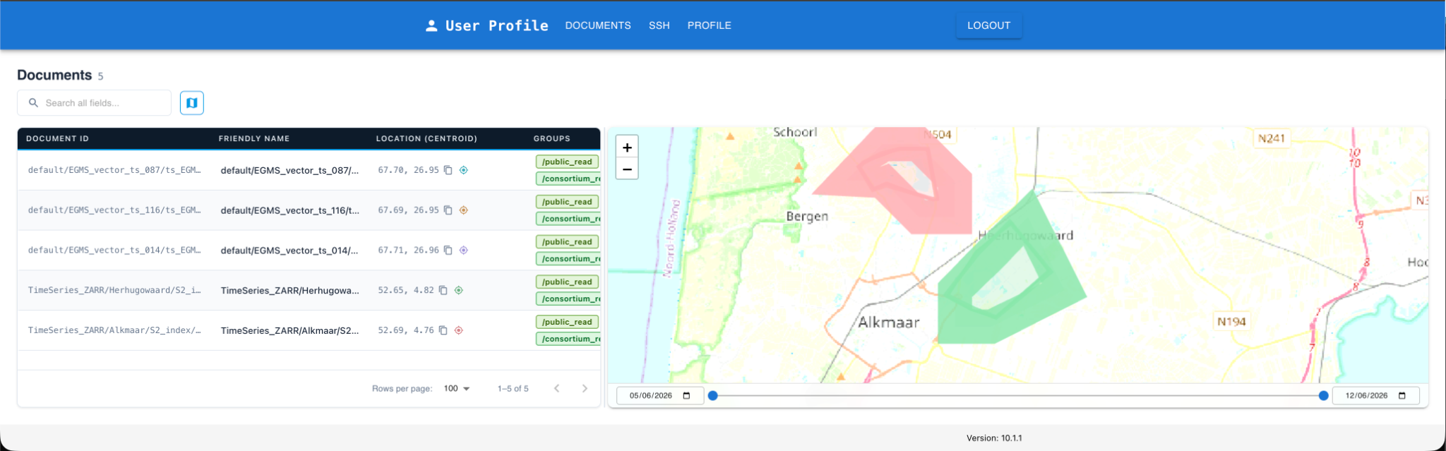
The functionality is aligned with the capabilities available in the general MONITORED AI admin panel and makes them available for the individual contributors of the system. This simplifies document lifecycle management, empowers the system’s data contributors and reduces dependency on administrative actions.
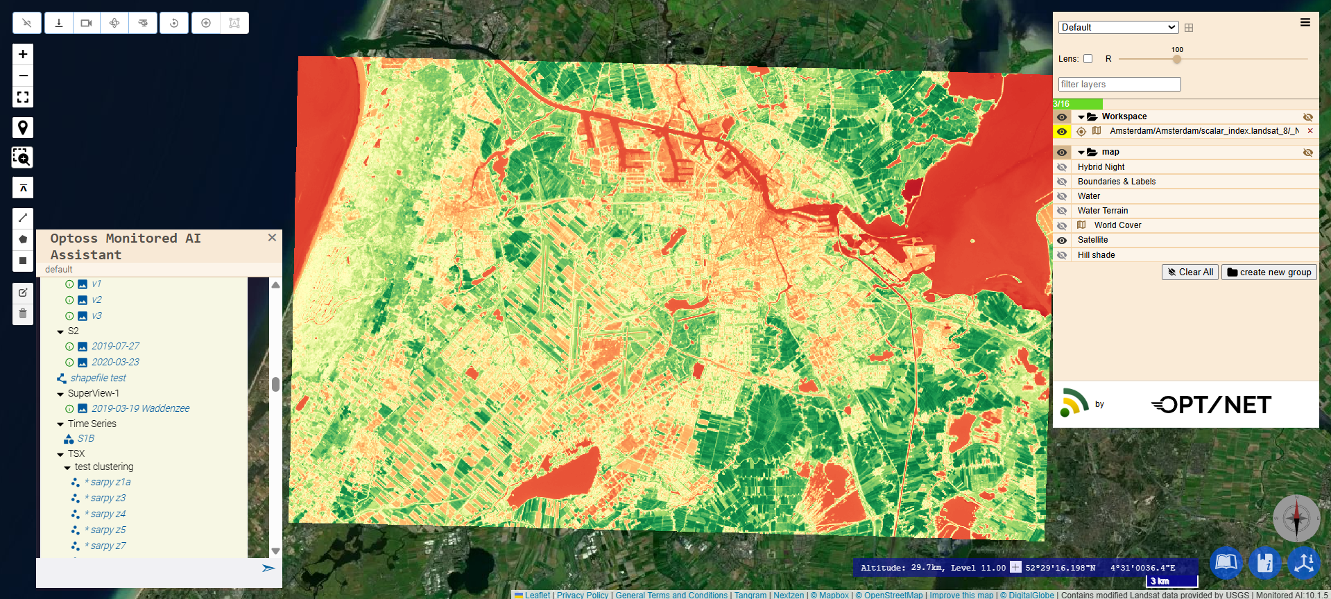
A new Scalar Index AIKP has been added for Landsat-8 imagery processing.
The module enables generation of scalar products derived from Landsat-8 satellite imagery, expanding analytical capabilities and extending support to additional Earth Observation data sources within MONITORED AI.
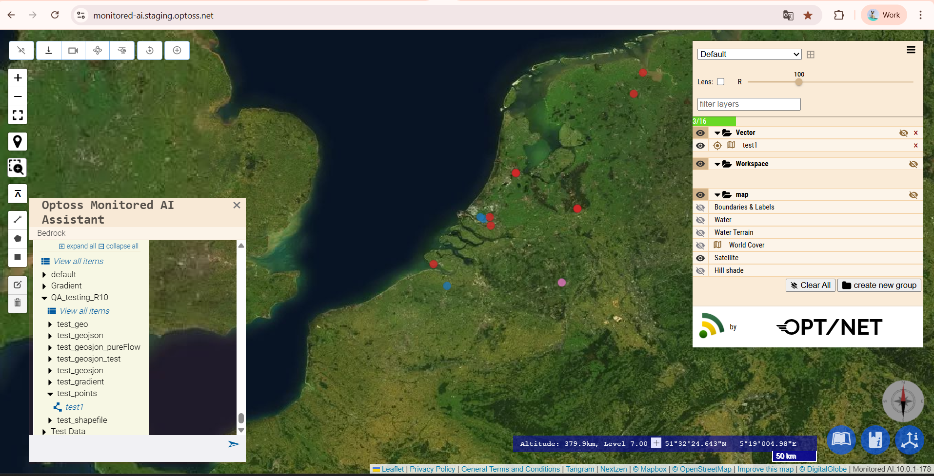
Vector layers can now be configured to display all points from a dataset simultaneously, regardless of zoom level. This enhancement enables complete visualisation of large point datasets and provides a more comprehensive overview of spatial information without applying automatic point reduction during map navigation.
To prevent invalid processing requests, the platform now verifies that a selected Area of Interest (AOI) is fully contained within the active Region of Interest (ROI). Users receive immediate validation feedback before processing starts, helping avoid unnecessary processing and failures. This feature assures that correct analyses are performed within the available data coverage area.
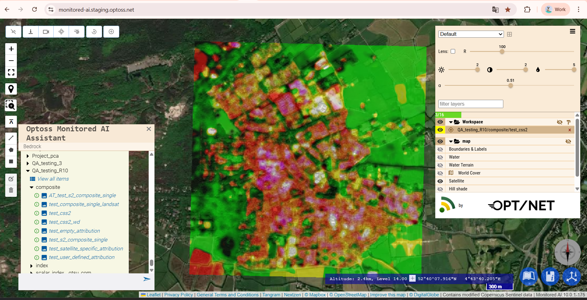
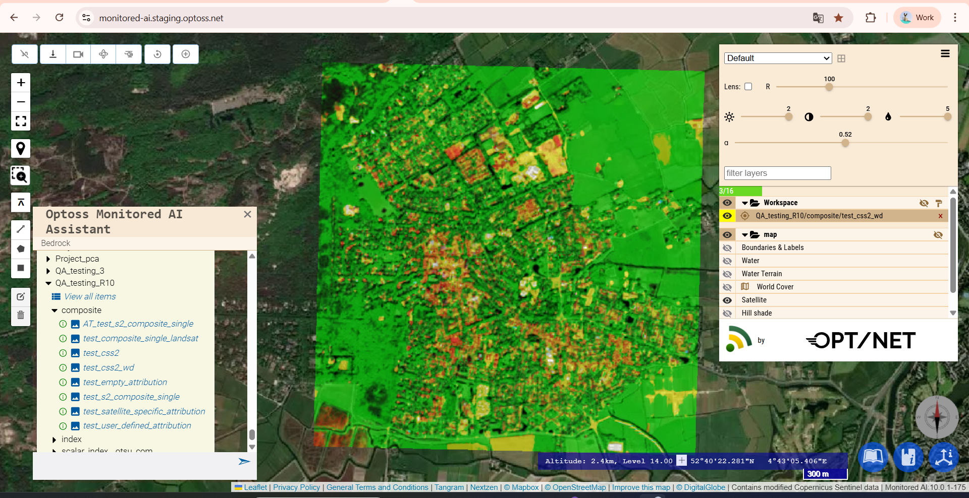
AIKP workflows now provide the option to disable filtering and denoising steps in the workflows when required. It gives analysts greater control over processing behaviour and allows publication of original, non-filtered outputs for validation, comparison, and specialised analytical workflows.
A new automated validation mechanism verifies document integrity verification before publication. The platform checks document references and associated storage objects to prevent publication of invalid or incomplete document’s metadata.
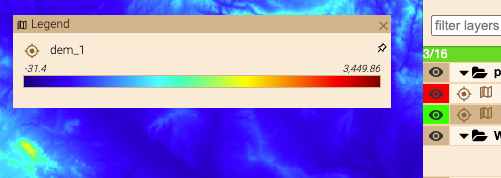
In addition to the embedded legend gradients in GUI, the support for custom document-defined gradient legends has been also added to the Web UI, allowing AIKP developers to define continuous colour scales directly within published documents. This enables clear pre-sets for visualisation of scalar datasets and expands the range of custom legend types available for analytical products.
In addition to the features highlighted above, MONITORED AI v10.1 also includes a broad range of under-the-hood improvements, including performance optimisations, workflow refinements, and usability enhancements.
To find out more, please, contact us at info@opt-net.eu or fill in the contact form.

.png)


